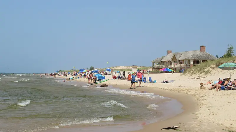
The Michigan Geological Survey rockhounding map lists this spot, but marks its rocks as unconfirmed.1
Rules: State park land (DNR). The state limit applies: no more than 25 pounds of rocks, mineral specimens and invertebrate fossils per person per year.2
Ludington State Park
Mason County, Ludington
State land (DNR)
Rocks, land and rules
A DNR state park.3 Which rocks turn up here is not yet in our checked sources.
Rules: State park land (DNR). The state limit applies: no more than 25 pounds of rocks, mineral specimens and invertebrate fossils per person per year.2
Charles Mears State Park
Oceana County, Pentwater
State land (DNR)
Rocks, land and rules
A DNR state park.4 Which rocks turn up here is not yet in our checked sources.
Rules: State park land (DNR). The state limit applies: no more than 25 pounds of rocks, mineral specimens and invertebrate fossils per person per year.2
Duck Lake State Park
Muskegon County, Whitehall
State land (DNR)
Rocks, land and rules
The Michigan Geological Survey rockhounding map lists this spot, but marks its rocks as unconfirmed.1
Rules: State park land (DNR). The state limit applies: no more than 25 pounds of rocks, mineral specimens and invertebrate fossils per person per year.2
Muskegon State Park
Muskegon County, North Muskegon
State land (DNR)
Rocks, land and rules
A DNR state park.5 Which rocks turn up here is not yet in our checked sources.
Rules: State park land (DNR). The state limit applies: no more than 25 pounds of rocks, mineral specimens and invertebrate fossils per person per year.2
Van Buren State Park
Van Buren County, South Haven
State land (DNR)
Rocks, land and rules
The Michigan Geological Survey rockhounding map lists Yooperlite here, marked as uncertain.1
Rules: State park land (DNR). The state limit applies: no more than 25 pounds of rocks, mineral specimens and invertebrate fossils per person per year.2
Grand Mere State Park
Berrien County, Stevensville
State land (DNR)
Rocks, land and rules
The Michigan Geological Survey rockhounding map lists this spot, but marks its rocks as unconfirmed.1
Rules: State park land (DNR). The state limit applies: no more than 25 pounds of rocks, mineral specimens and invertebrate fossils per person per year.2
Local parks (3)
Deerlick Creek Park
Van Buren County, South Haven
Local park: South Haven Charter Township
Rocks, land and rules
Rocks on the Michigan Geological Survey rockhounding map: Petoskey stone, fossils, septarian nodules (lightning stones), unakite, jasper, horn coral, chain coral, hematite, slag, cold-water agate and Yooperlite.1
Managed through SHARA, the South Haven Area Recreation Authority. "Dogs are allowed on-leash at this beach."6
Rules: No rock collecting rule posted by the park; check with the park manager. Managed by South Haven Charter Township.6 On the Great Lakes shore below the ordinary high water mark: the same 25 lb limit as on state land, which comes from the DNR rule R 299.922(hh), not from Part 325.2 EGLE describes it as covering state-owned and public trust lands.7
Rocky Gap County Park
Berrien County, Benton Township
Local park: Berrien County
Rocks, land and rules
Rocks on the Michigan Geological Survey rockhounding map: Petoskey stone, quartz, septarian nodules (lightning stones), unakite, crinoid and chalcedony.1
Open April to October, about 8 am to 15 minutes after sunset. No fee. No dogs on the beach. "Do not climb or tread on the dune."8
Rules: No rock collecting rule posted by the park; check with the park manager. Managed by Berrien County.8 On the Great Lakes shore below the ordinary high water mark: the same 25 lb limit as on state land, which comes from the DNR rule R 299.922(hh), not from Part 325.2 EGLE describes it as covering state-owned and public trust lands.7
Summit Township Park
Mason County, between Pentwater and Ludington
Local park: Summit Township
Rocks, land and rules
Open April 1 to October 31, from 8 am to dusk or 10 pm. "No glass containers on the beach", "No camping", and dogs must be leashed.9 No rock list from an official source yet.
Rules: No rock collecting rule posted by the park; check with the park manager. Managed by Summit Township.9 On the Great Lakes shore below the ordinary high water mark: the same 25 lb limit as on state land, which comes from the DNR rule R 299.922(hh), not from Part 325.2 EGLE describes it as covering state-owned and public trust lands.7
Beaches named by EGLE (1)
Frankfort public beach
Benzie County
Owner not confirmed
Rocks, land and rules
EGLE names the public beach in Frankfort as a known Petoskey stone collecting locality.10
Rules: Who owns this beach, and any local rules, have not been confirmed. Check posted signs and ask the land manager before you collect.
Good to know
Petoskey stones also turn up south of the northern beaches, and inland in many sand and gravel mines across the state.10
Not allowed
Sleeping Bear Dunes National Lakeshore: "it is illegal under federal law to remove stones from the National Lakeshore."11